Shop Gifts for Everyone on Your List at
H&M
BUY A GIFT CARD
Shopping
Stores
Centre Map
Gift Cards
Promos
What's Happening
Events
Community Kiosk
OnePlanet
Mall Updates
CHECK-IN!
Contact Us
Contact Us
Hours
Jobs
Leasing
Shopping
Stores
Centre Map
Gift Cards
Promos
What's Happening
Events
Community Kiosk
OnePlanet
Mall Updates
CHECK-IN!
Contact Us
Contact Us
Hours
Jobs
Leasing
BUY A GIFT CARD
3055 Massey Drive Prince George BC V2N 2S9
Stay Connected
Gift Cards
Close Button
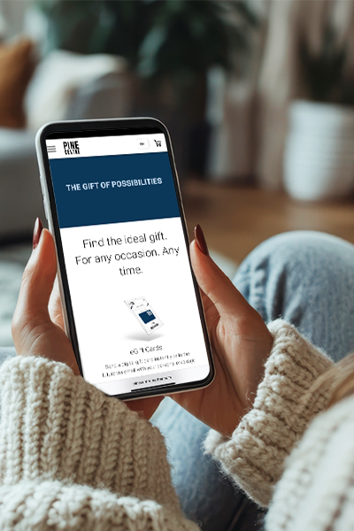
Gifting Made Simple
Give the Gift of Choice
Click below to purchase a
Pine Centre eGift Card
that can be used at participating retailers at Pine Centre.
Purchase Here
On Sale
Women
Men
Baby & Kids
Home
Winter Essentials
Boxing Day
H&M Gift Guide
Stores
Brands
Wishlist
Wishlist
Search
Search
Items on Sale
Clothing
Tops
Bottoms
Outerwear
Swimwear
Sleepwear
Underwear
Dresses & Jumpsuits
Accessories
Socks
Hosiery
Hats
Headbands
Scarves
Gloves & Mittens
Sunglasses
Eyeglasses
Belts
Wallets
Watches
Jewelry
Shoes
Sneakers
Boots
Sandals
Flip Flops
Pumps
Flats
Shoe Care
Bags & Backpacks
Satchel
Messenger
Saddle
Tote
Duffel
Hobo
Clutch
Sports & Fitness
Yoga
Gym
Outdoor
Sportswear
Items on Sale
Clothing
Tops
Bottoms
Outerwear
Swimwear
Sleepwear
Underwear
Accessories
Socks
Hats
Headbands
Scarves
Gloves & Mittens
Sunglasses
Eyeglasses
Belts
Ties
Wallets
Watches
Jewelry
Shoes
Sneakers
Boots
Sandals
Flip Flops
Dress Shoes
Shoe Care
Bags & Backpacks
Messenger
Duffel
Briefcase
Luggage
Sports & Fitness
Gym
Outdoor
Sportswear
Items on Sale
Clothing
Tops
Bottoms
Outerwear
Sleepwear
Underwear
Baby Gear
Strollers
Carriers
Feeding
Seats
Cribs
Toys
Video Games
Building Toys
Puzzles
Dolls
Play Sets
Stuffed Toys
Costumes
Items on Sale
Bedroom
Bed Sheets
Pillows
Mattress
Mattress Cover
Kitchen
Cookware
Utensils
Appliances
Office
Stationery
Notebooks & Planners
Decor
Candles
Rugs
Vase
Curtains
Wall Art
Furniture
Chairs
Sofas
Benches
Desks
Shelves
Mirrors
Electronics
Laptops
Monitors
Mice
Headphones
Speakers
Home Theatre
Cables
Batteries
Cases
Cameras
Clothes
Shoes
Accessories
Home
Outdoor Activities
Fashion & Accessories
Boxing Day
Clothing
Shoes
Accessories
Bags & Handbags
Clearance by Price
Under $50
Under $100
Under $250
Under $500
Over $500
Sale by Department
Women
Men
Baby & Kids
Home
Beauty
Tech
Stocking Stuffers
NYE Looks
Ann-Louise Jewellers
Ardene
Bath & Body Works
Below the Belt
Boathouse
Bootlegger
Calendar Club
CARTERS jewellers
Chatters Hair Salon
Coles
Eclipse
Freedom Mobile
GameStop
Garage
H&M
House Of Knives
Just Cozy
La Senza
La Vie en Rose
Laura
Lids
Lululemon
Michael Hill
Millie + Moose
Mobile Klinik
Mobile Q
New Look
NORTHERN Hart Design
Northern Reflections
Pandora
Paris Jewellers
Purdys Chocolatier
QE Home
Quarks
Reitmans
Ricki's
Roots
Sephora
Shoppers Drug Mart
Showcase
Soft Moc
Stokes
Sunglass Hut
Sunrise Records
The Body Shop
The Children's Place
The Shoe Company
Tip Top Tailors
Adidas
Call It Spring
Converse
Garage
La Vie En Rose
Michael Hill
Nike
Peoples Jewellers
Qe Home
Reitmans
Ricki's
Skechers
Softmoc
The Body Shop
Under Armour
Vans
Close Button
Wishlist
Search
All Categories
Close Button
On Sale
Women
Men
Baby & Kids
Home
Winter Essentials
Boxing Day
H&M Gift Guide
Stores
Brands
Home
Store: Coles
Coles
Shop Coles for bestselling books, toys, stationary, and so much more!
250-563-1112
More Info
In Stock
Top Results
(10000+)
men
baby & toddler
girls
language toy
victor
coloring book
loungewear
Coles
Shop Coles for bestselling books, toys, stationary, and so much more!
250-563-1112
More Info
In Stock
In Stock at Pine Centre
New
category
brand
store
Gender
price
Sale
occasion
Filters
Close Button
Sort By
Best Match
Close Button
Price (Low to High)
Close Button
Price (High to Low)
Close Button
New
category
brand
store
Gender
price
Sale
occasion
Apply Filters
men
baby & toddler
girls
language toy
victor
coloring book
loungewear
Sort By
Best Match
Price (Low to High)
Price (High to Low)
10000+ Results
1
2
3
Wishlist
Add To Wishlist
Quick View
Loading Inventory...
Loading Inventory...
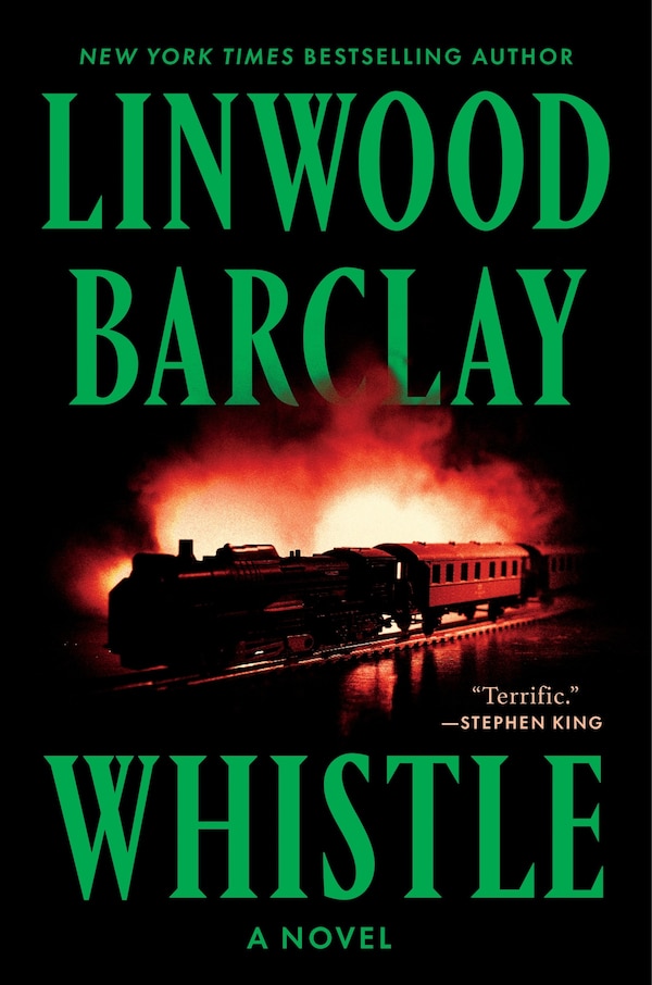
Whistle by Linwood Barclay, Paperback | Indigo Chapters
Linwood Barclay
Current price:
$25.99
Wishlist
Add To Wishlist
Quick View
Loading Inventory...
Loading Inventory...
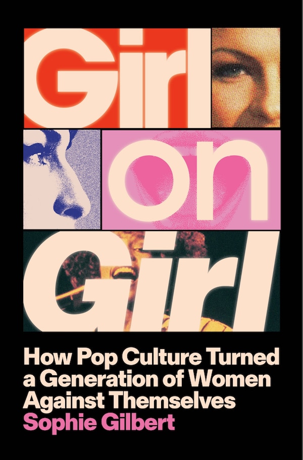
Girl on Girl by Sophie Gilbert, Hardcover | Indigo Chapters
Sophie Gilbert
Current price:
$36.00
Wishlist
Add To Wishlist
Quick View
Loading Inventory...
Loading Inventory...
The Wrong Sister by Claire Douglas, Paperback | Indigo Chapters
Claire Douglas
Current price:
$23.99
Wishlist
Add To Wishlist
Quick View
Loading Inventory...
Loading Inventory...
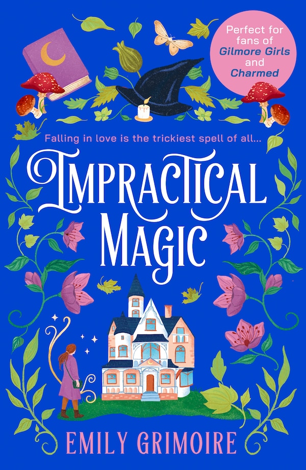
Impractical Magic by Emily Grimoire, Perfect | Indigo Chapters
Emily Grimoire
Current price:
$23.99
Wishlist
Add To Wishlist
Quick View
Loading Inventory...
Loading Inventory...
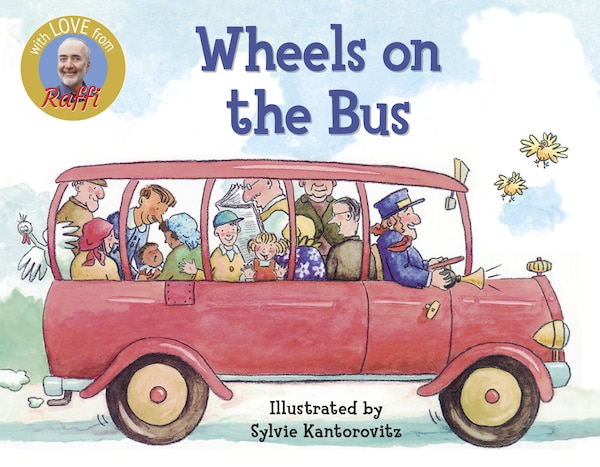
Wheels On The Bus by Raffi Raffi, Board Book | Indigo Chapters
Raffi Raffi
Current price:
$10.99
Wishlist
Add To Wishlist
Quick View
Loading Inventory...
Loading Inventory...
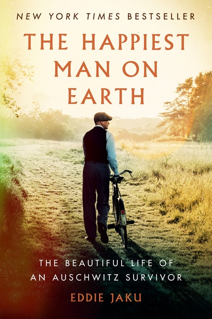
The Happiest Man on Earth by Eddie Jaku, Paperback | Indigo Chapters
Eddie Jaku
Current price:
$23.99
Wishlist
Add To Wishlist
Quick View
Loading Inventory...
Loading Inventory...
Wacky Waving Inflatable Tube Guy by Conor Riordan, Paperback | Indigo Chapters
Conor Riordan
Current price:
$19.50
Wishlist
Add To Wishlist
Quick View
Loading Inventory...
Loading Inventory...
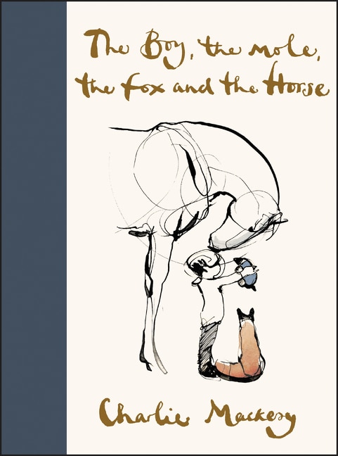
The Boy the Mole the Fox and the Horse by Charlie Mackesy, Hardcover | Indigo Chapters
Charlie Mackesy
Current price:
$28.50
Wishlist
Add To Wishlist
Quick View
Loading Inventory...
Loading Inventory...
Uncanny Valley Girls by Zefyr Lisowski, Paperback | Indigo Chapters
Zefyr Lisowski
Current price:
$21.99
Wishlist
Add To Wishlist
Quick View
Loading Inventory...
Loading Inventory...
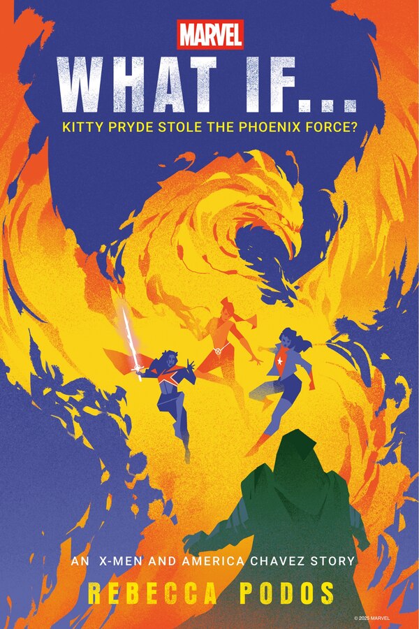
Marvel: What If Kitty Pryde Stole the Phoenix Force? (An X-Men and America Chavez Story) by Rebecca Podos, Hardcover | Indigo Chapters
Rebecca Podos
Current price:
$39.99
Wishlist
Add To Wishlist
Quick View
Loading Inventory...
Loading Inventory...
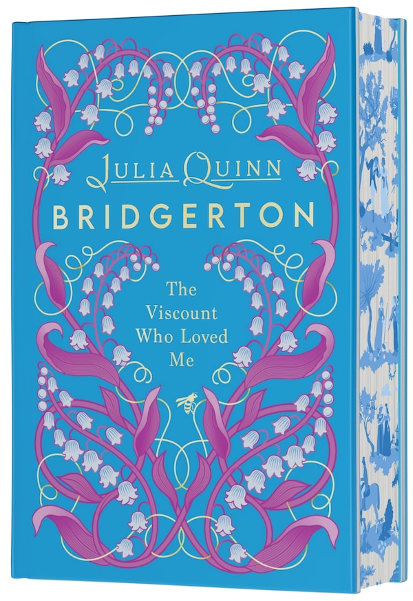
The Viscount Who Loved Me Deluxe Collector's Edition by Julia Quinn, Hardcover | Indigo Chapters
Julia Quinn
Current price:
$37.00
Wishlist
Add To Wishlist
Quick View
Loading Inventory...
Loading Inventory...
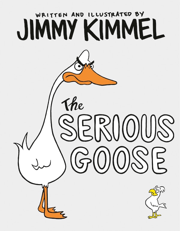
The Serious Goose by Jimmy Kimmel, Hardcover | Indigo Chapters
Jimmy Kimmel
Current price:
$24.99
Wishlist
Add To Wishlist
Quick View
Loading Inventory...
Loading Inventory...
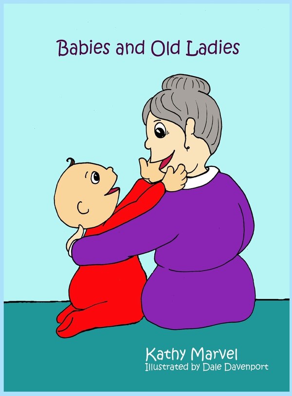
Babies and Old Ladies by Kathy Marvel, Hardcover | Indigo Chapters
Kathy Marvel
Current price:
$19.81
Wishlist
Add To Wishlist
Quick View
Loading Inventory...
Loading Inventory...
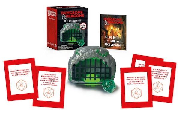
Dungeons & Dragons: Mini Dice Dungeon by Brenna Dinon, Paperback | Indigo Chapters
Brenna Dinon
Current price:
$18.50
Wishlist
Add To Wishlist
Quick View
Loading Inventory...
Loading Inventory...
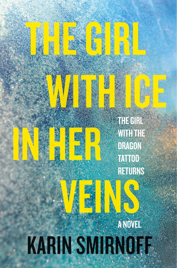
The Girl with Ice in Her Veins by Karin Smirnoff, Hardcover | Indigo Chapters
Karin Smirnoff
Current price:
$38.00
Wishlist
Add To Wishlist
Quick View
Loading Inventory...
Loading Inventory...
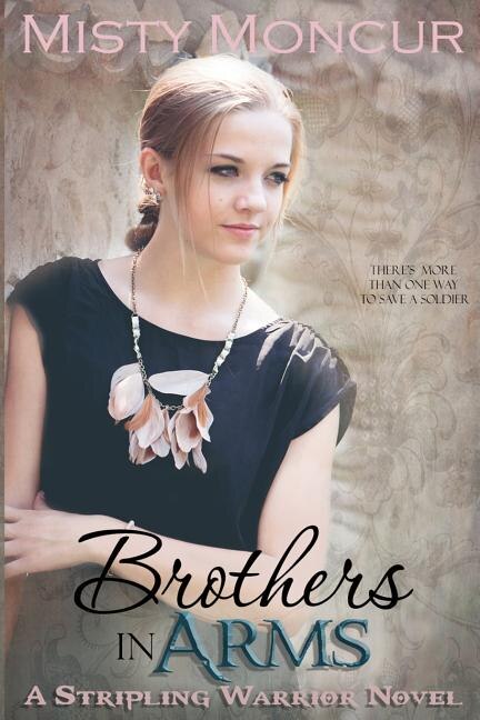
Brothers In Arms by Misty Moncur, Paperback | Indigo Chapters
Misty Moncur
Current price:
$19.50
Wishlist
Add To Wishlist
Quick View
Loading Inventory...
Loading Inventory...
Tahini Baby by Eden Grinshpan, Paper over Board | Indigo Chapters
Eden Grinshpan
Current price:
$45.00
Wishlist
Add To Wishlist
Quick View
Loading Inventory...
Loading Inventory...
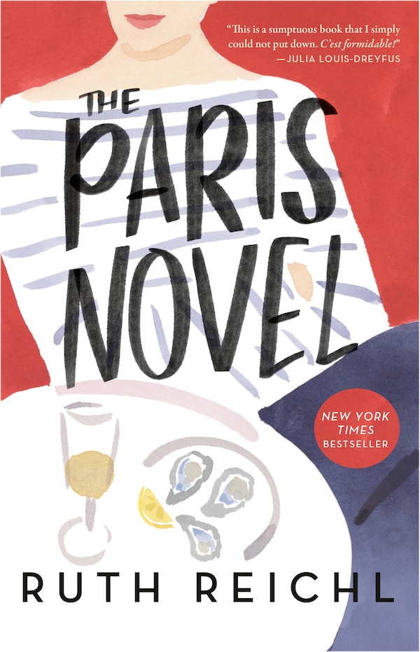
The Paris Novel by Ruth Reichl, Paperback | Indigo Chapters
Ruth Reichl
Current price:
$22.95
Wishlist
Add To Wishlist
Quick View
Loading Inventory...
Loading Inventory...
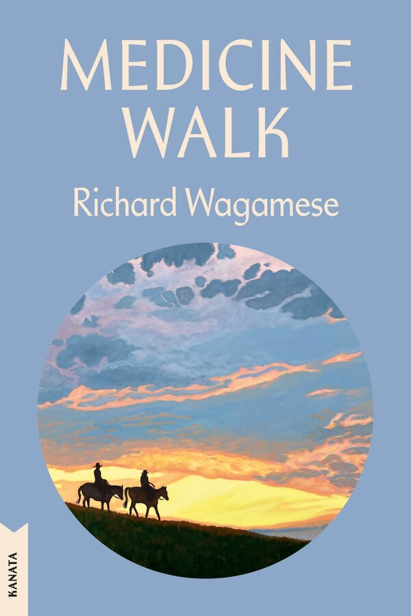
Medicine Walk by Richard Wagamese, Paperback | Indigo Chapters
Richard Wagamese
Current price:
$22.00
Wishlist
Add To Wishlist
Quick View
Loading Inventory...
Loading Inventory...
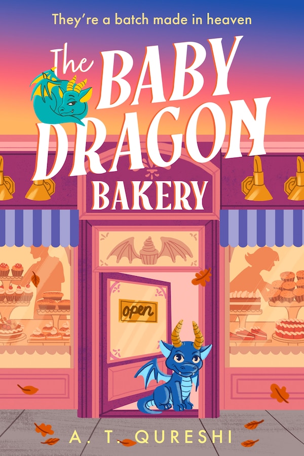
The Baby Dragon Bakery by A. T. Qureshi, Perfect | Indigo Chapters
A. T. Qureshi
Current price:
$23.99
Wishlist
Add To Wishlist
Quick View
Loading Inventory...
Loading Inventory...
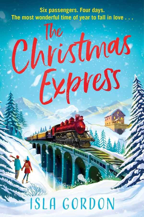
The Christmas Express by Isla Gordon, Paperback | Indigo Chapters
Isla Gordon
Current price:
$23.99
Wishlist
Add To Wishlist
Quick View
Loading Inventory...
Loading Inventory...
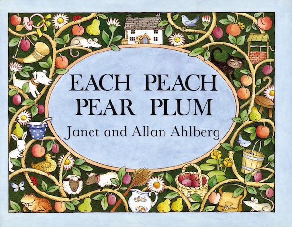
Each Peach Pear Plum, Board Book by Allan Ahlberg | Indigo Chapters
Allan Ahlberg
Current price:
$13.99
Wishlist
Add To Wishlist
Quick View
Loading Inventory...
Loading Inventory...
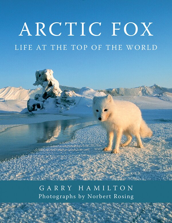
Arctic Fox by Garry Hamilton, Paperback | Indigo Chapters
Garry Hamilton
Current price:
$10.00
Wishlist
Add To Wishlist
Quick View
Loading Inventory...
Loading Inventory...
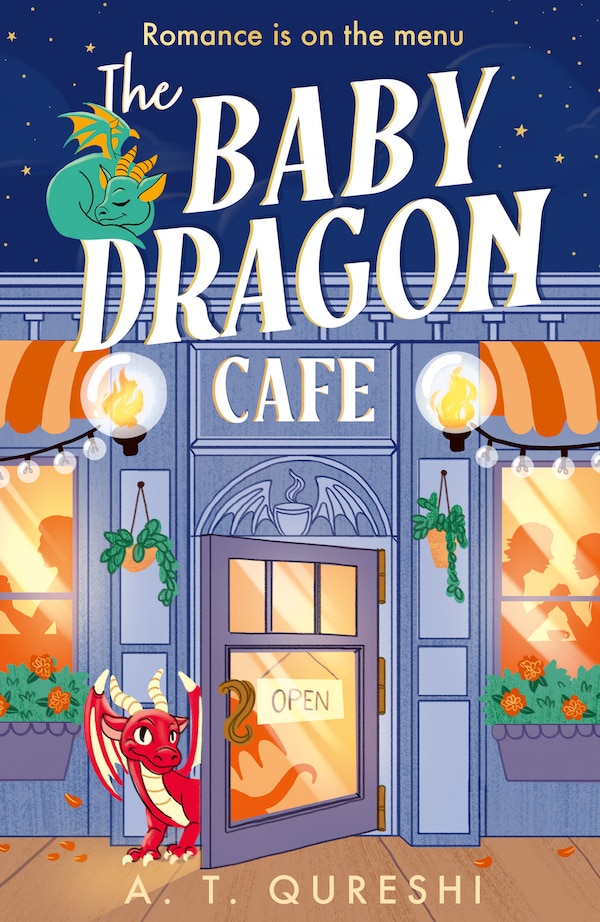
The Baby Dragon Cafe by A. T. Qureshi, Perfect | Indigo Chapters
A. T. Qureshi
Current price:
$23.99
Wishlist
Add To Wishlist
Quick View
Loading Inventory...
Loading Inventory...
The Pumpkin Spice Café Coloring Book by Laurie Gilmore, Perfect | Indigo Chapters
Laurie Gilmore
Current price:
$19.99
Wishlist
Add To Wishlist
Quick View
Loading Inventory...
Loading Inventory...
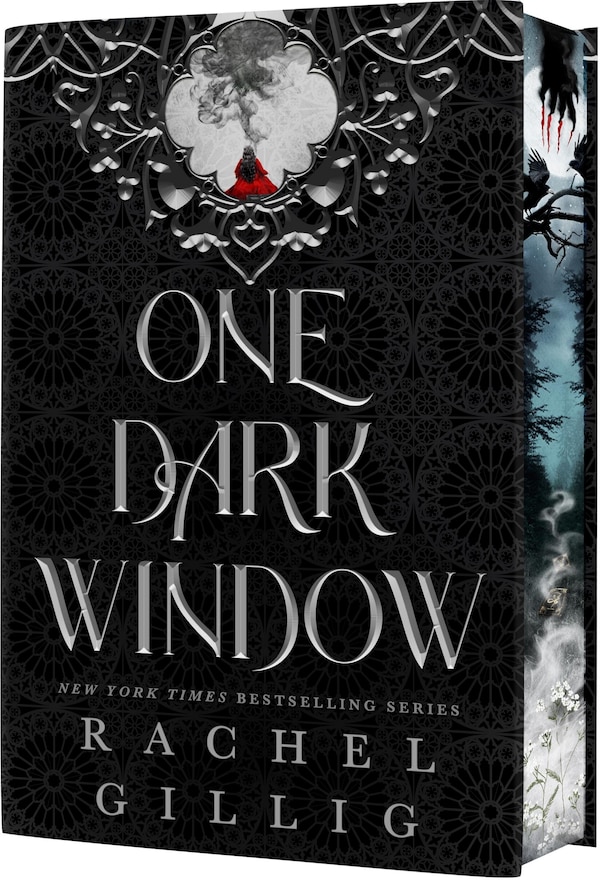
One Dark Window (Deluxe Limited, Hardcover Edition) by Rachel Gillig | Indigo Chapters
Rachel Gillig
Current price:
$42.00
Wishlist
Add To Wishlist
Quick View
Loading Inventory...
Loading Inventory...
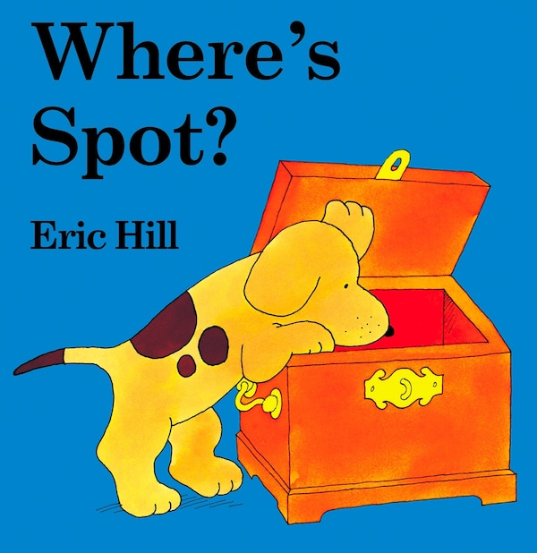
Where's Spot? by Eric Hill, Board Book | Indigo Chapters
Eric Hill
Current price:
$10.99
Wishlist
Add To Wishlist
Quick View
Loading Inventory...
Loading Inventory...
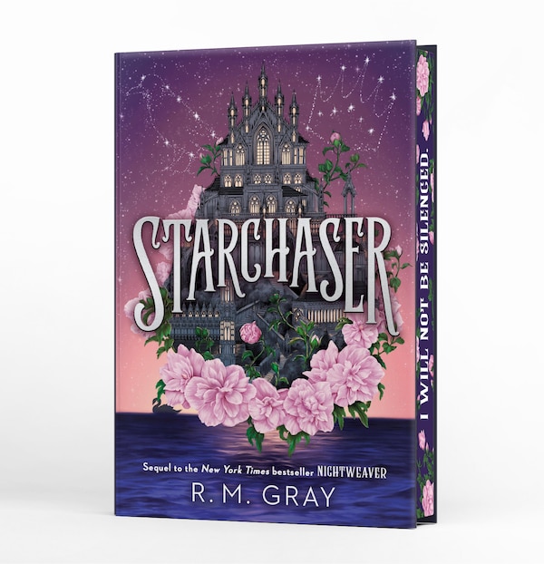
Starchaser (Deluxe Limited Edition) by R. M. Gray, Hardcover | Indigo Chapters
R. M. Gray
Current price:
$25.99
Wishlist
Add To Wishlist
Quick View
Loading Inventory...
Loading Inventory...
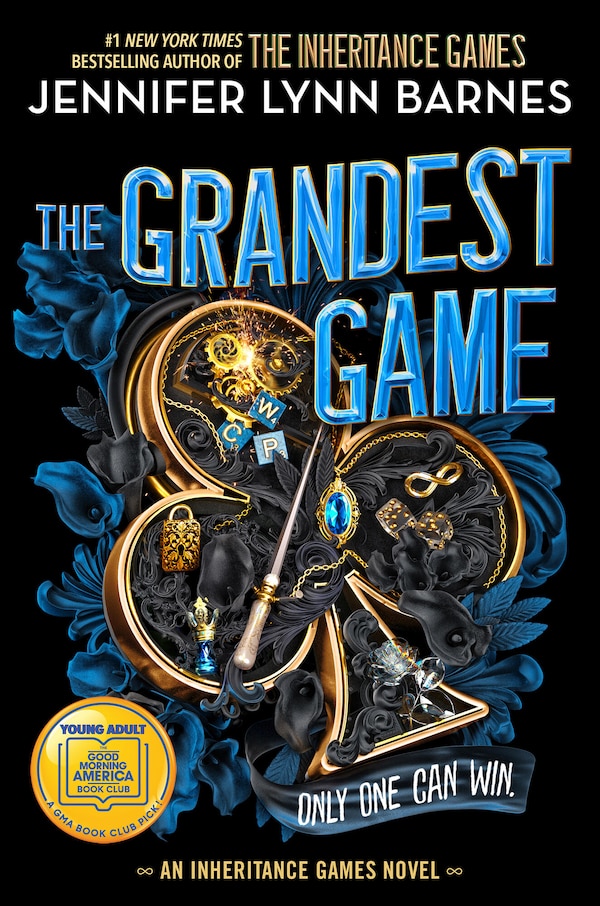
The Grandest Game by Jennifer Lynn Barnes, Paperback | Indigo Chapters
Jennifer Lynn Barnes
Current price:
$16.99
Wishlist
Add To Wishlist
Quick View
Loading Inventory...
Loading Inventory...
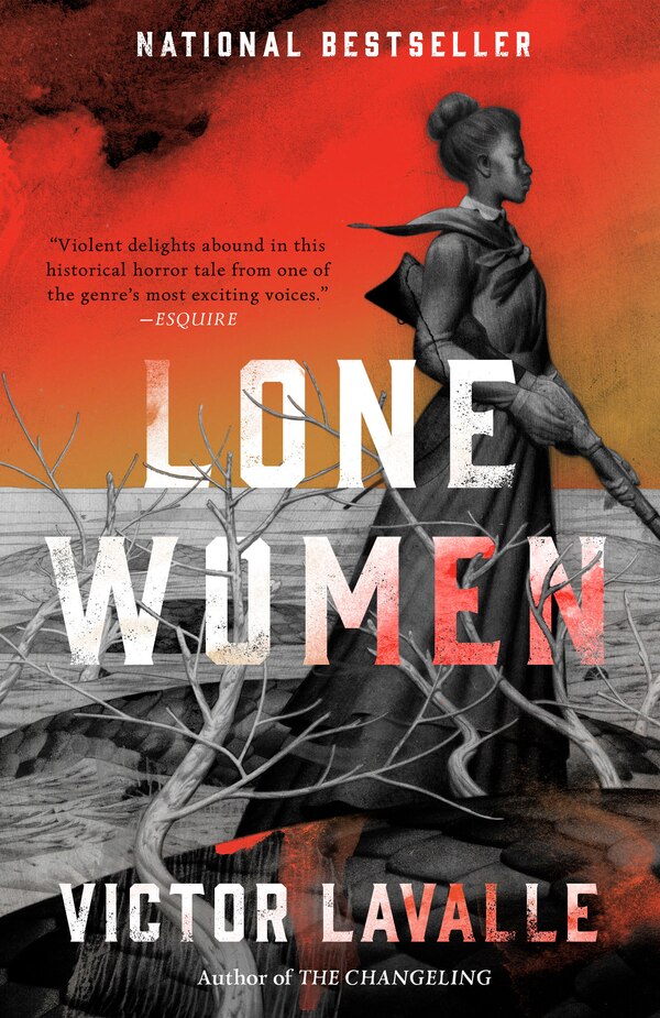
Lone Women by Victor Lavalle, Paperback | Indigo Chapters
Victor Lavalle
Current price:
$16.00
Wishlist
Add To Wishlist
Quick View
Loading Inventory...
Loading Inventory...
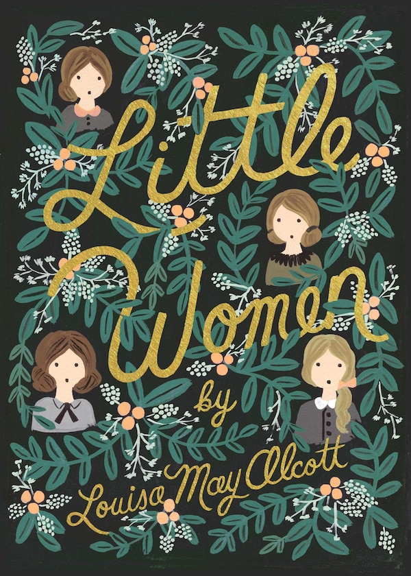
Little Women by Louisa May Alcott, Paper over Board | Indigo Chapters
Louisa May Alcott
Current price:
$24.50
Wishlist
Add To Wishlist
Quick View
Loading Inventory...
Loading Inventory...
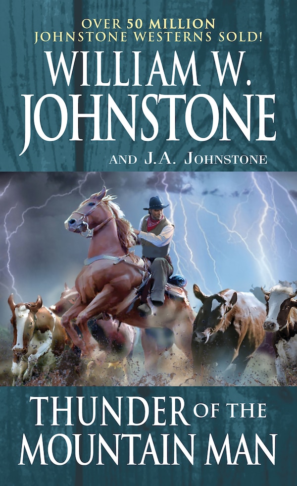
Thunder of the Mountain Man by William W. Johnstone, Mass Market Paperback | Indigo Chapters
William W. Johnstone
Current price:
$11.99
Wishlist
Add To Wishlist
Quick View
Loading Inventory...
Loading Inventory...
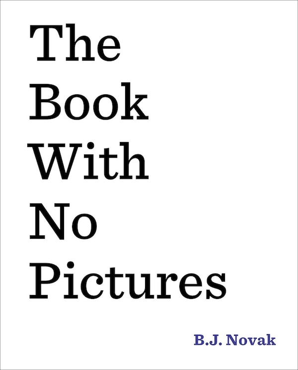
The Book With No Pictures by B. J. Novak, Hardcover | Indigo Chapters
B. J. Novak
Current price:
$26.99
Wishlist
Add To Wishlist
Quick View
Loading Inventory...
Loading Inventory...
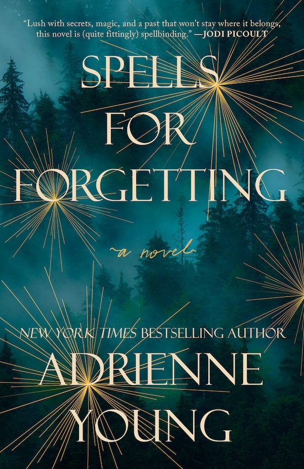
Spells for Forgetting by Adrienne Young, Paperback | Indigo Chapters
Adrienne Young
Current price:
$24.95
Wishlist
Add To Wishlist
Quick View
Loading Inventory...
Loading Inventory...
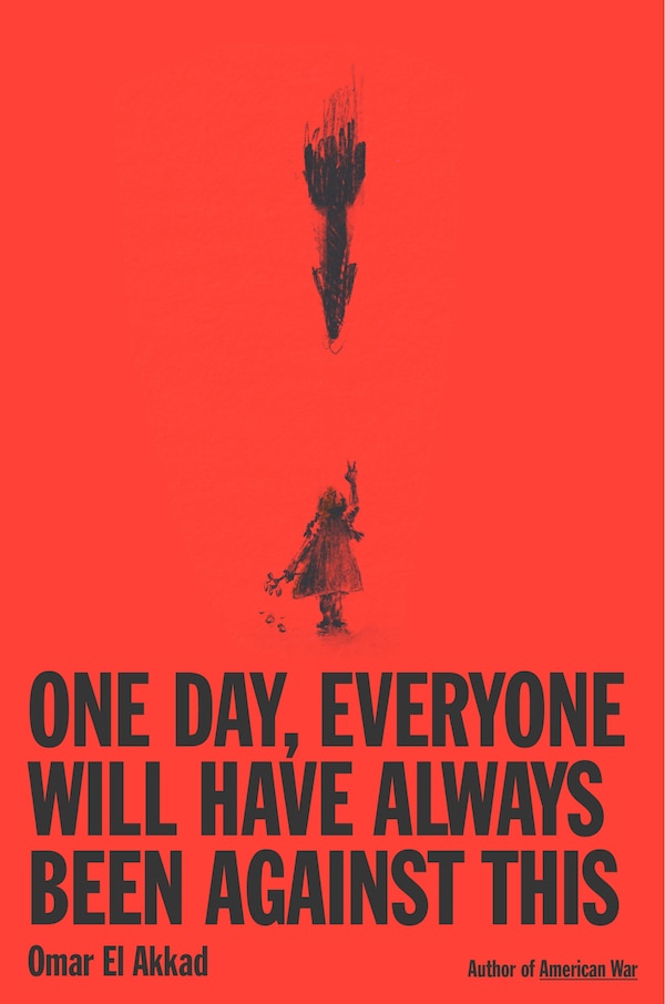
One Day Everyone Will Have Always Been Against This by Omar El Akkad, Hardcover | Indigo Chapters
Omar El Akkad
Current price:
$36.00
Wishlist
Add To Wishlist
Quick View
Loading Inventory...
Loading Inventory...
Nobody's Girl by Virginia Roberts Giuffre, Hardcover | Indigo Chapters
Virginia Roberts Giuffre
Current price:
$48.00
Wishlist
Add To Wishlist
Quick View
Loading Inventory...
Loading Inventory...
The Pioneer Woman Cooks—The Essential Recipes by Ree Drummond, Hardcover | Indigo Chapters
Ree Drummond
Current price:
$40.50
Wishlist
Add To Wishlist
Quick View
Loading Inventory...
Loading Inventory...
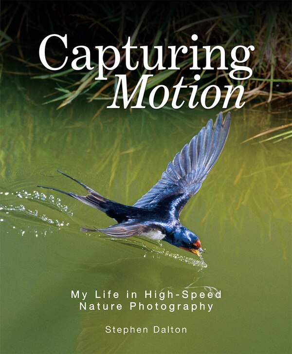
Capturing Motion by Stephen Dalton, Hardcover | Indigo Chapters
Stephen Dalton
Current price:
$12.00
Wishlist
Add To Wishlist
Quick View
Loading Inventory...
Loading Inventory...
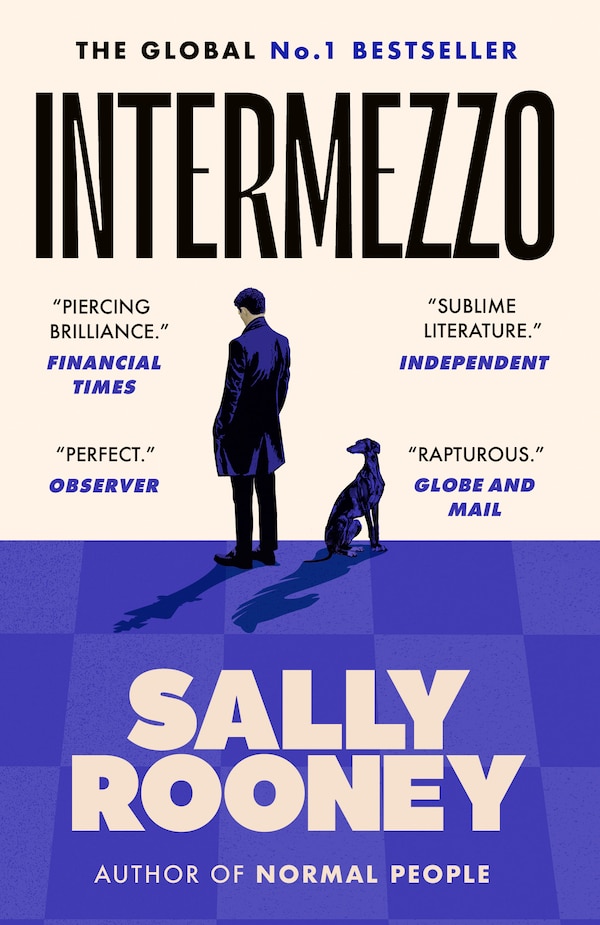
Intermezzo by Sally Rooney, Paperback | Indigo Chapters
Sally Rooney
Current price:
$25.00
Wishlist
Add To Wishlist
Quick View
Loading Inventory...
Loading Inventory...
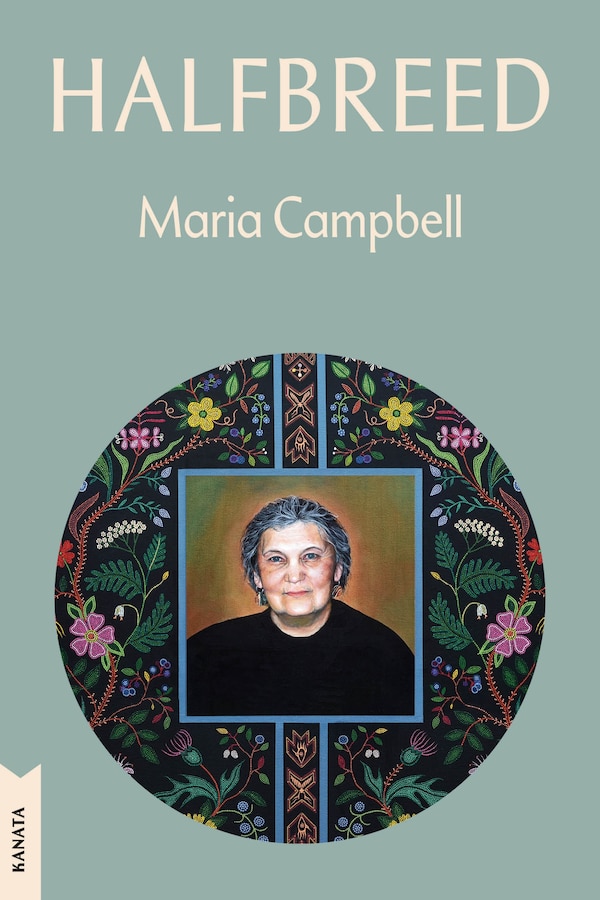
Halfbreed by Maria Campbell, Paperback | Indigo Chapters
Maria Campbell
Current price:
$22.00
Wishlist
Add To Wishlist
Quick View
Loading Inventory...
Loading Inventory...
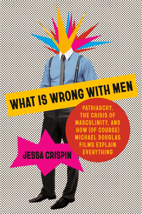
What Is Wrong with Men by Jessa Crispin, Hardcover | Indigo Chapters
Jessa Crispin
Current price:
$37.00
Wishlist
Add To Wishlist
Quick View
Loading Inventory...
Loading Inventory...
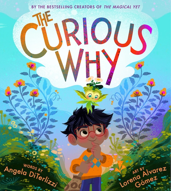
The Curious Why by Angela DiTerlizzi, Picture Books | Indigo Chapters
Angela DiTerlizzi
Current price:
$24.99
Wishlist
Add To Wishlist
Quick View
Loading Inventory...
Loading Inventory...
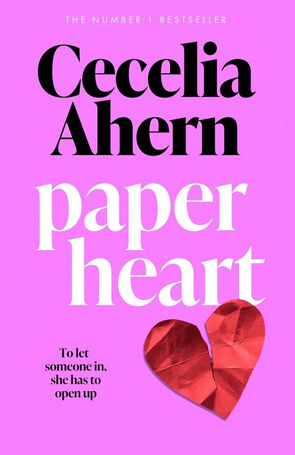
Paper Heart by Cecelia Ahern, Perfect | Indigo Chapters
Cecelia Ahern
Current price:
$24.99
Wishlist
Add To Wishlist
Quick View
Loading Inventory...
Loading Inventory...
The Boy Who Drew Auschwitz by Thomas Geve, Perfect | Indigo Chapters
Thomas Geve
Current price:
$24.99
Wishlist
Add To Wishlist
Quick View
Loading Inventory...
Loading Inventory...
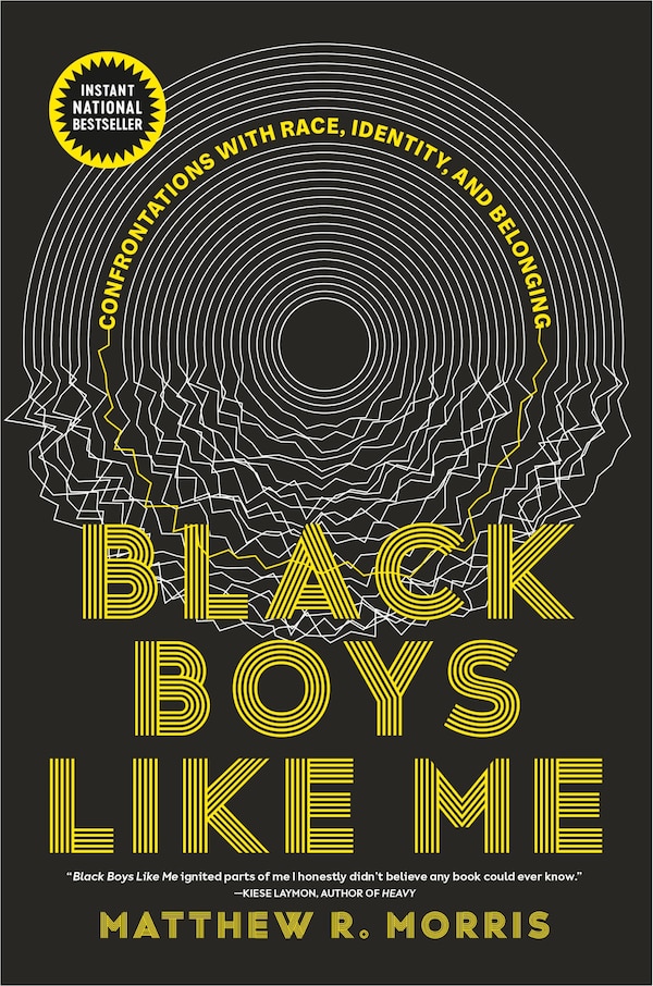
Black Boys Like Me by Matthew R. Morris, Paperback | Indigo Chapters
Matthew R. Morris
Current price:
$23.00
Wishlist
Add To Wishlist
Quick View
Loading Inventory...
Loading Inventory...
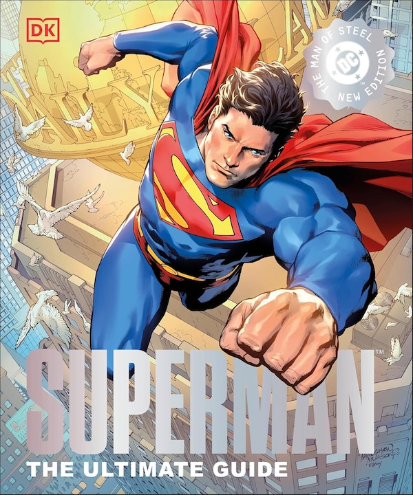
DC Superman The Ultimate Guide The Man of Steel New Edition by Dk, Hardcover | Indigo Chapters
Dk
Current price:
$39.99
Wishlist
Add To Wishlist
Quick View
Loading Inventory...
Loading Inventory...
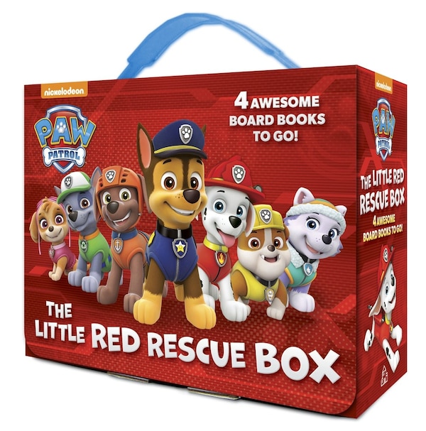
The Little Red Rescue Box (paw Patrol) by Random House, Boxed Set/Slip Case/Casebound | Indigo Chapters
Random House
Current price:
$19.99
Wishlist
Add To Wishlist
Quick View
Loading Inventory...
Loading Inventory...
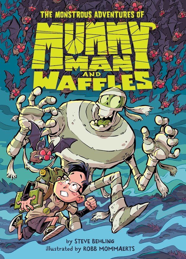
The Monstrous Adventures of Mummy Man and Waffles by Steve Behling, Hardcover | Indigo Chapters
Steve Behling
Current price:
$19.99
Wishlist
Add To Wishlist
Quick View
Loading Inventory...
Loading Inventory...
The Girl With The Dragon Tattoo by Stieg Larsson, Paperback | Indigo Chapters
Stieg Larsson
Current price:
$24.95
Wishlist
Add To Wishlist
Quick View
Loading Inventory...
Loading Inventory...
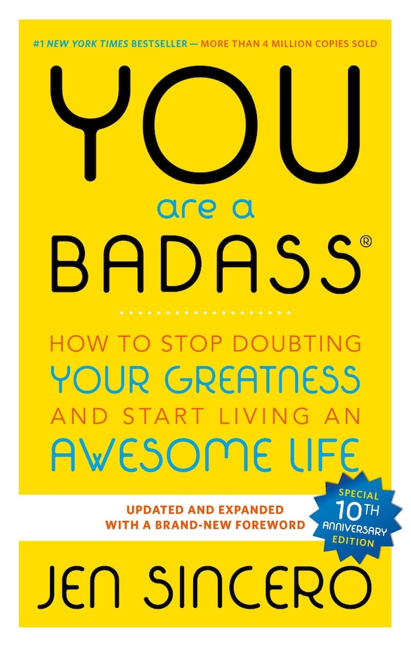
You Are A Badass by Jen Sincero, Paperback | Indigo Chapters
Jen Sincero
Current price:
$21.99
Wishlist
Add To Wishlist
Quick View
Loading Inventory...
Loading Inventory...
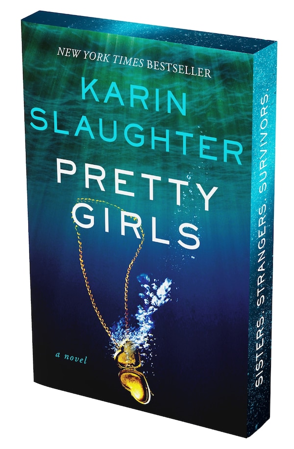
Pretty Girls Deluxe Collector’s Edition by Karin Slaughter, Paperback | Indigo Chapters
Karin Slaughter
Current price:
$24.99
Wishlist
Add To Wishlist
Quick View
Loading Inventory...
Loading Inventory...
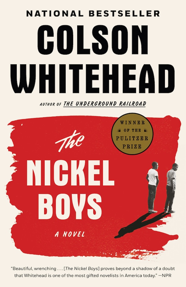
The Nickel Boys by Colson Whitehead, Paperback | Indigo Chapters
Colson Whitehead
Current price:
$23.00
Wishlist
Add To Wishlist
Quick View
Loading Inventory...
Loading Inventory...
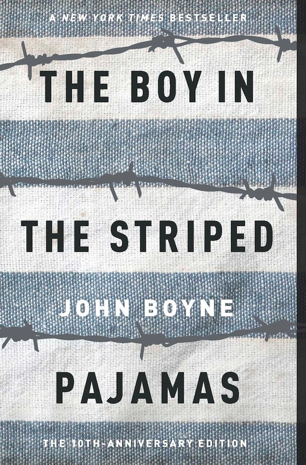
The Boy In The Striped Pajamas by John Boyne, Paperback | Indigo Chapters
John Boyne
Current price:
$17.99
Wishlist
Add To Wishlist
Quick View
Loading Inventory...
Loading Inventory...
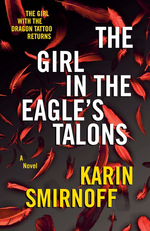
The Girl in the Eagle's Talons by Karin Smirnoff, Paperback | Indigo Chapters
Karin Smirnoff
Current price:
$23.00
Wishlist
Add To Wishlist
Quick View
Loading Inventory...
Loading Inventory...
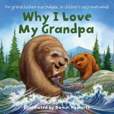
Why I love my Grandpa by Daniel Howarth, Board Book | Indigo Chapters
Daniel Howarth
Current price:
$14.99
Wishlist
Add To Wishlist
Quick View
Loading Inventory...
Loading Inventory...
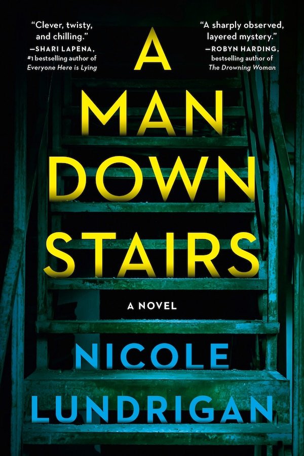
A Man Downstairs by Nicole Lundrigan, Paperback | Indigo Chapters
Nicole Lundrigan
Current price:
$24.95
Wishlist
Add To Wishlist
Quick View
Loading Inventory...
Loading Inventory...
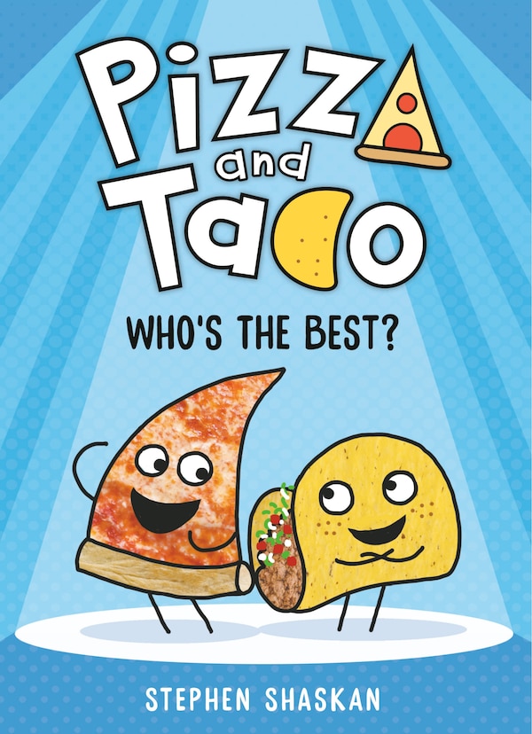
Pizza and Taco: Who's the Best? by Stephen Shaskan, Hardcover | Indigo Chapters
Stephen Shaskan
Current price:
$13.99
Wishlist
Add To Wishlist
Quick View
Loading Inventory...
Loading Inventory...
Vanished Beyond the Map by Adam Shoalts, Hardcover | Indigo Chapters
Adam Shoalts
Current price:
$37.00
Wishlist
Add To Wishlist
Quick View
Loading Inventory...
Loading Inventory...
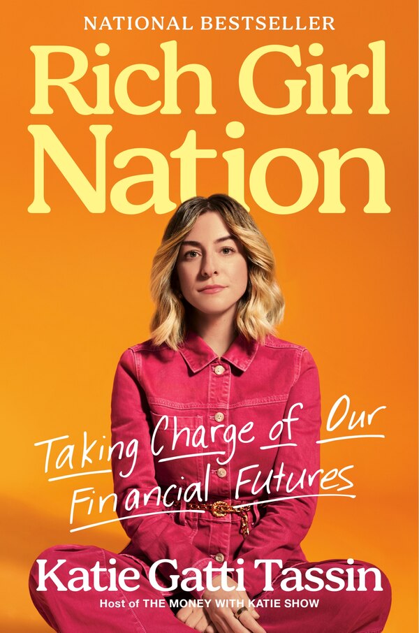
Rich Girl Nation by Katie Gatti Tassin, Hardcover | Indigo Chapters
Katie Gatti Tassin
Current price:
$39.99
Wishlist
Add To Wishlist
Quick View
Loading Inventory...
Loading Inventory...
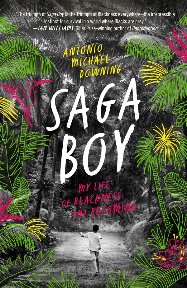
Saga Boy by Antonio Michael Downing, Paperback | Indigo Chapters
Antonio Michael Downing
Current price:
$23.00
Wishlist
Add To Wishlist
Quick View
Loading Inventory...
Loading Inventory...
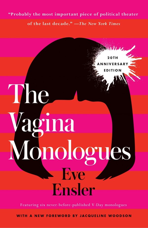
The Vagina Monologues by Eve Ensler, Paperback | Indigo Chapters
Eve Ensler
Current price:
$25.99
Wishlist
Add To Wishlist
Quick View
Loading Inventory...
Loading Inventory...
Girls Play Dead by Jen Percy, Hardcover | Indigo Chapters
Jen Percy
Current price:
$39.00
Wishlist
Add To Wishlist
Quick View
Loading Inventory...
Loading Inventory...
Cozy Bookshops: Colouring Book by Chrissy Lau, Perfect | Indigo Chapters
Chrissy Lau
Current price:
$12.50
Wishlist
Add To Wishlist
Quick View
Loading Inventory...
Loading Inventory...
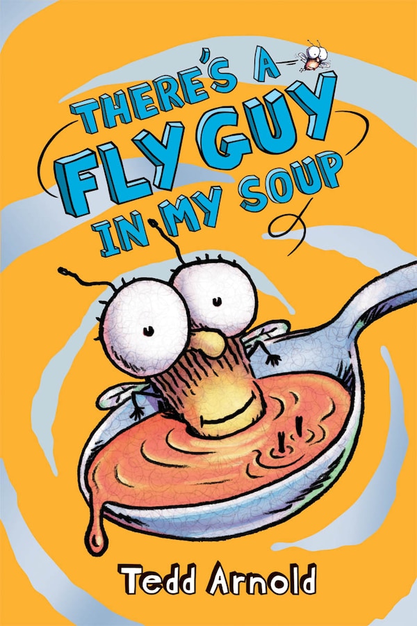
There's A Fly Guy In My Soup (fly Guy #12) by Tedd Arnold, Hardcover | Indigo Chapters
Tedd Arnold
Current price:
$10.99
Wishlist
Add To Wishlist
Quick View
Loading Inventory...
Loading Inventory...
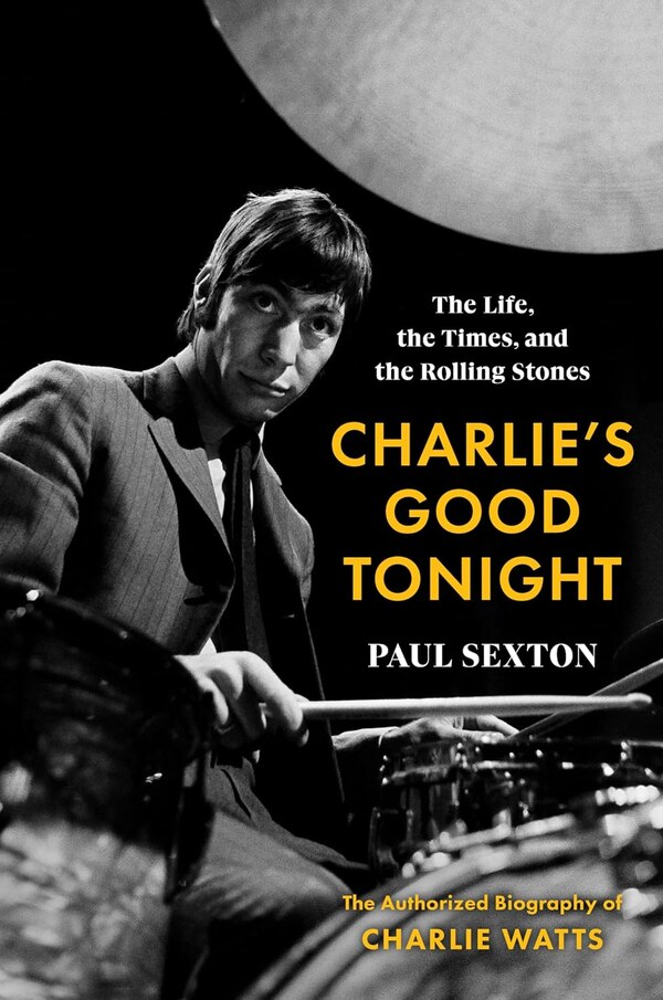
Charlie's Good Tonight by Paul Sexton, Paperback | Indigo Chapters
Paul Sexton
Current price:
$26.99
Wishlist
Add To Wishlist
Quick View
Loading Inventory...
Loading Inventory...
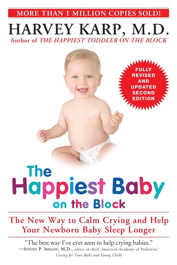
The Happiest Baby On The Block; Fully Revised And Updated Second Edition by Harvey Karp, Paperback | Indigo Chapters
Harvey Karp
Current price:
$28.00
Wishlist
Add To Wishlist
Quick View
Loading Inventory...
Loading Inventory...
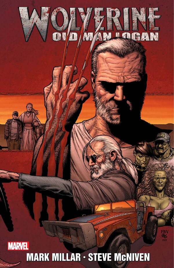
WOLVERINE: OLD MAN LOGAN by Mark Millar, Paperback | Indigo Chapters
Mark Millar
Current price:
$34.99
Wishlist
Add To Wishlist
Quick View
Loading Inventory...
Loading Inventory...
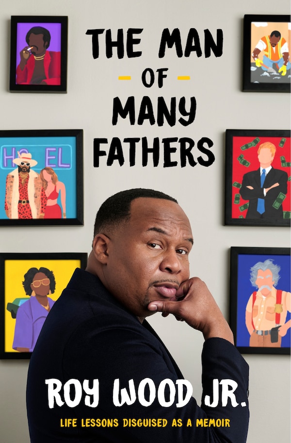
The Man of Many Fathers by Roy Wood, Hardcover | Indigo Chapters
Roy Wood
Current price:
$42.00
Wishlist
Add To Wishlist
Quick View
Loading Inventory...
Loading Inventory...
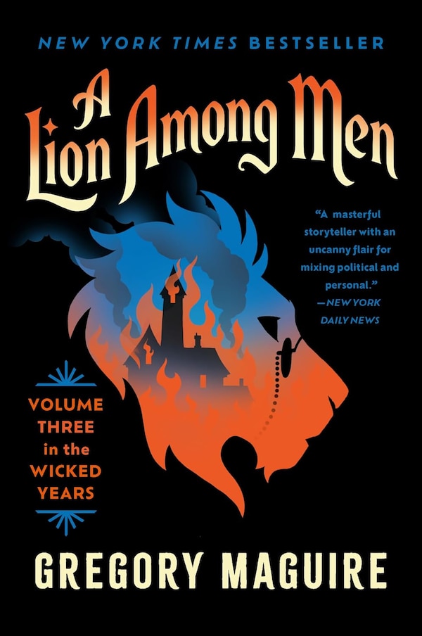
A Lion Among Men by Gregory Maguire, Paperback | Indigo Chapters
Gregory Maguire
Current price:
$24.99
Wishlist
Add To Wishlist
Quick View
Loading Inventory...
Loading Inventory...
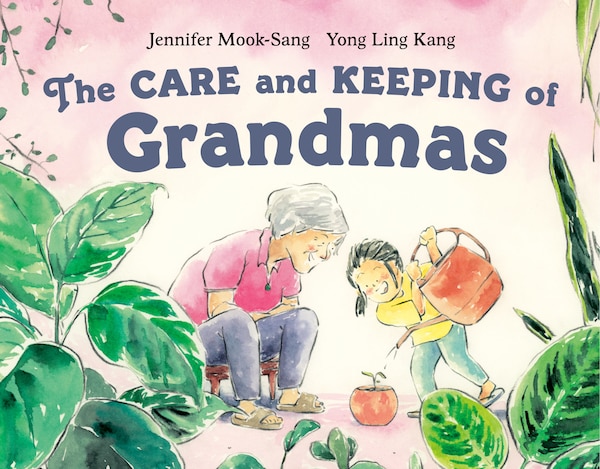
The Care and Keeping of Grandmas by Jennifer Mook-sang, Hardcover | Indigo Chapters
Jennifer Mook-sang
Current price:
$23.99
Wishlist
Add To Wishlist
Quick View
Loading Inventory...
Loading Inventory...
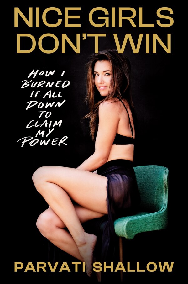
Nice Girls Don't Win by Parvati Shallow, Hardcover | Indigo Chapters
Parvati Shallow
Current price:
$39.99
Wishlist
Add To Wishlist
Quick View
Loading Inventory...
Loading Inventory...
The Baby Keepsake Book and Planner by Mindy Weiss, Hardcover | Indigo Chapters
Mindy Weiss
Current price:
$38.99
More About Coles at Pine Centre
Shop Coles for bestselling books, toys, stationary, and so much more!
3079 Massey Dr, Prince George, BC V2N 1R4, Canada
Store Info
250-563-1112
Driving Directions
View Map
More details
Find Coles at Pine Centre in Prince George, BC
Visit Coles at Pine Centre in Prince George, BC