Gifting Made Simple
Give the Gift of ChoiceClick below to purchase a Pine Centre eGift Card that can be used at participating retailers at Pine Centre.Purchase HereHome
Mapping the Constitution: The Cartographic History of the Ratification of the Constitution
Coles
Loading Inventory...
Mapping the Constitution: The Cartographic History of the Ratification of the Constitution
By None
Current price: $54.95
Coles
Mapping the Constitution: The Cartographic History of the Ratification of the Constitution
By None
Current price: $54.95
Loading Inventory...
Size: Hardcover
*Product information and pricing may vary - to confirm current pricing, availability, shipping, and return information please contact Coles. In the event of a pricing discrepancy, the retailer's price will apply.
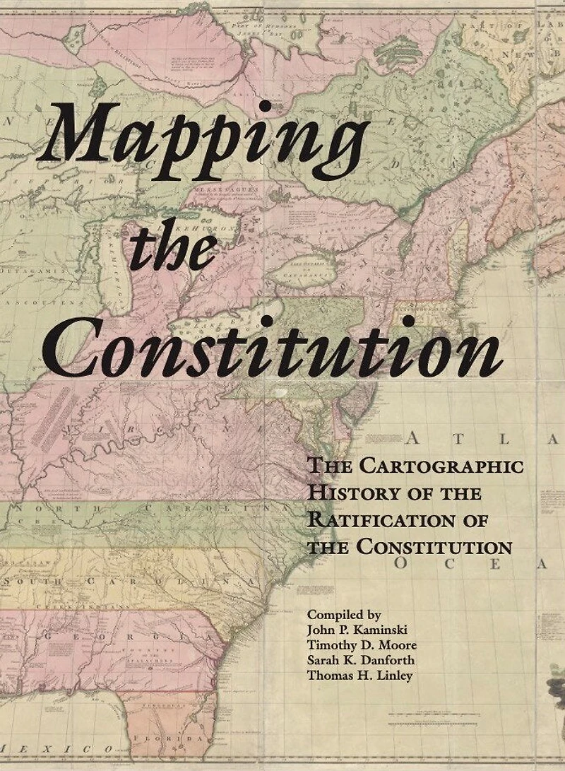
Ending in mid-September 1787, the Constitutional Convention recommended that the state legislatures call conventions elected by the people to consider ratifying the newly proposed Constitution. The five New England state legislatures called conventions in which delegates represented their towns, while in the other nine state conventions delegates represented counties and a few large towns. The maps in this atlas show the division between Federalists and Antifederalists in all fourteen states. This volume also contains a map derived from a map originally created in 1894 that depicts the geographical division of the vote on the Constitution throughout the country. Another map shows the locations of American towns in which nearly 100 newspapers and magazines were published in 1787-1790. Additionally, the names of the convention delegates are listed in state rosters arranged alphabetically by their towns and/or counties.
Distributed for the Center for the Study of the American Constitution