Home
London A-Z Street Atlas: Detailed and accurate iconic street map of London by A-z Maps, Perfect | Indigo Chapters
Coles
Loading Inventory...
London A-Z Street Atlas: Detailed and accurate iconic street map of London by A-z Maps, Perfect | Indigo Chapters
From A-z Maps
Current price: $17.99
Coles
London A-Z Street Atlas: Detailed and accurate iconic street map of London by A-z Maps, Perfect | Indigo Chapters
From A-z Maps
Current price: $17.99
Loading Inventory...
Size: 22 x 193 x 1280
*Product information may vary - to confirm product availability, pricing, shipping and return information please contact Coles
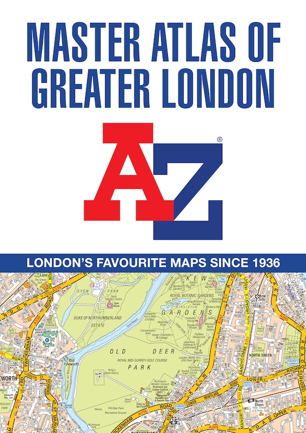
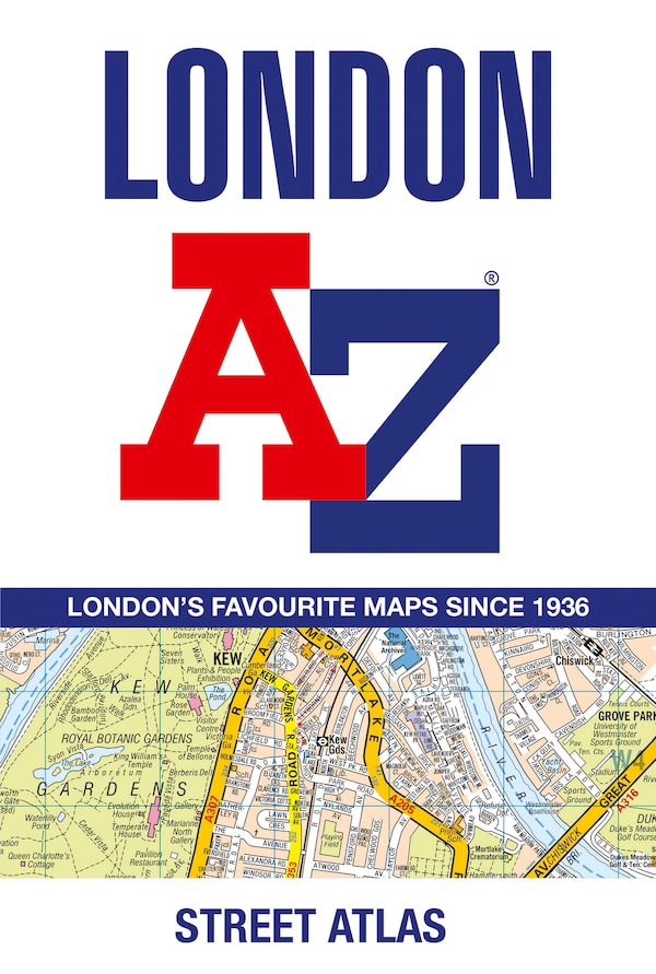
Navigate your way around London with this detailed, easy-to-use and up-to-date A-Z Street Atlas. First published in 1936, this iconic atlas is a trusted means of finding your way around the capital city. The main mapping extends beyond Central London from Heathrow Airport to Chingford at a scale of 2.88 inches to 1 mile (4.55 cm to 1 km), featuring postcode districts, one-way streets, the Congestion Charging Zone and Low Emission Zone. The large-scale street map of Central London – at a scale of 5.75 inches to 1 mile – cover Regent’s Park and Shoreditch, Chelsea and Vauxhall, Hyde Park and Bermondsey. A comprehensive index lists streets, selected flats, walkways and places of interest, place, area and junction names. Additional healthcare (hospitals, walk-in centres and hospices) and transport connections (National Rail, London Tramlink, Docklands Light Railway, London Underground and Overground stations, and River Bus pier) are indexed as well. Also included are:• Overview map of the Congestion Charging Zone, Ultra Low Emission and Low Emission Zones• West End Theatre map• London Connections rail services map | London A-Z Street Atlas: Detailed and accurate iconic street map of London by A-z Maps, Perfect | Indigo Chapters
Navigate your way around London with this detailed, easy-to-use and up-to-date A-Z Street Atlas. First published in 1936, this iconic atlas is a trusted means of finding your way around the capital city. The main mapping extends beyond Central London from Heathrow Airport to Chingford at a scale of 2.88 inches to 1 mile (4.55 cm to 1 km), featuring postcode districts, one-way streets, the Congestion Charging Zone and Low Emission Zone. The large-scale street map of Central London – at a scale of 5.75 inches to 1 mile – cover Regent’s Park and Shoreditch, Chelsea and Vauxhall, Hyde Park and Bermondsey. A comprehensive index lists streets, selected flats, walkways and places of interest, place, area and junction names. Additional healthcare (hospitals, walk-in centres and hospices) and transport connections (National Rail, London Tramlink, Docklands Light Railway, London Underground and Overground stations, and River Bus pier) are indexed as well. Also included are:• Overview map of the Congestion Charging Zone, Ultra Low Emission and Low Emission Zones• West End Theatre map• London Connections rail services map | London A-Z Street Atlas: Detailed and accurate iconic street map of London by A-z Maps, Perfect | Indigo Chapters